Shopping Cart
0 item(s) - 0.00лв
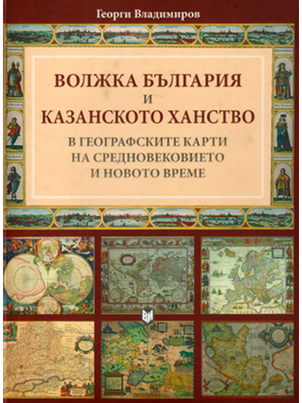
Volga Bulgaria and the Kazan Khanate in the Geographic Maps of the Middles Ages and the Early Modern Times
Volga Bulgaria and the Kazan Khanate in the Geographic Maps of the Middles Ages and the Early Modern Times
Languge: Bulgarian with summaries in English and Russian. Category: Volga Bulgaria
The present research gathered about 100 ancient European and Arab maps from the Middle Ages to the Early Modern Times which illustrate the cartographic notions of the region of Middle Volga, the 10th—16th centuries state of Volga Bulgaria and its immediate successor — the Kazan Khanate. The aim of this research is to visualize the “appearance” and “disappearance” of particular realia in these lands as a result of objective historical processes or gradually accumulated knowledge.
Table of contents
П. Павлов. Географски карти за „другата“ средновековна България
Вместо увод
Волжка България и Казанското ханство е географските карти на Средновековието и Новото време
Заключение. Държави и градове по Средна Волга: между историческия факт и картографския мит
Библиография
Показалец
Sumary in English
Summary in Russian
Волжка България и Казанското ханство в географските карти на Средновековието и Новото време
| Details | |
| Publisher | Military Publishing |
| Language | Bulgarian with summaries in English and Russian |
| Pages | 176 |
| Illustrations | color figures |
| Binding | paperback |
| ISBN | 978-954-509-381-4 |
| Creation date | 2007 |
| Size | 21 х 29 cm |
Write a review
Your Name:Your Review: Note: HTML is not translated!
Rating: Bad Good
Enter the code in the box below:


