Shopping Cart
0 item(s) - 0.00лв
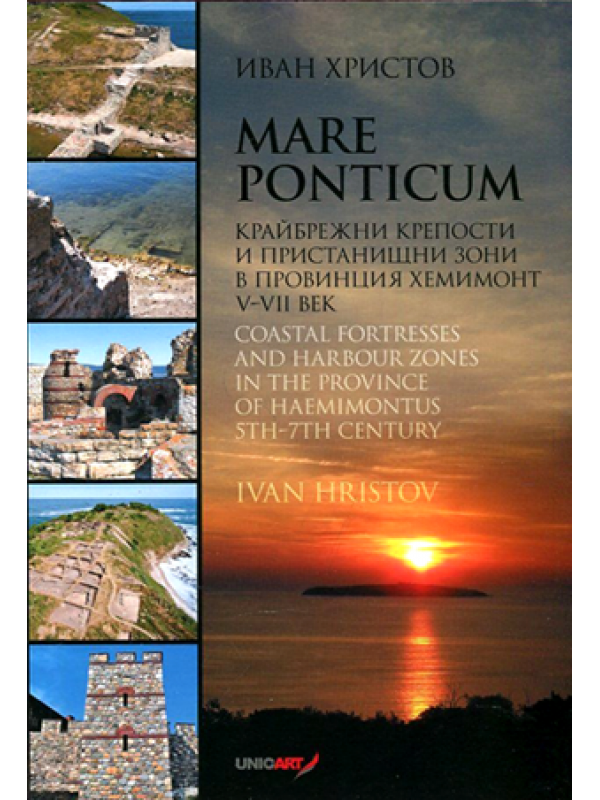
Mare Ponticum: Coastal Fortresses and Harbour Zones in the Province of Haemimontus (5th–7th c.)
Introduction
I. Research problems
Administrative changes in the Eastern Empire and boundaries of the province of Haemimont
East coastal contact zone
The fortresses
Ports and harbor zones
Iron anchors
The ships of the transition between the Late Antiquity and Middle Ages
Currents and routes in the Black Sea
Indicators of maritime trade
II. Fortresses and harbor zones in Haemimont
1. Late Antique city at the modern town of Obzor (Templum Iovis?)
2. Fortress on Cape Emine
3. Keremis barrier wall at the village of Svei Vlas
4. Mesemvria
5. Harbour zone at the village of Ravda
6. Military campsite near Aheloi
7. Late Antique Anchialos
8. Skafida
9. Deultum/Develt in Late Antiquity
10. Gorno Gradishte fortress near the village of Debelt
11. Early Byzantine city on the peninsula of Foros
12. Chengene Skele Bay
13. Sveta Anastasia Island
14. Late Antique fortress on the Atia Peninsula
15. Vromos Bay
16. Akra fortress
17. Port and remains of a supposed Late Antique temple of St. Nicholas near the town of Chernomorets
18. Thalassakra
19. Early Byzantine town of the Hrisosotira Peninsula
20. Sozopol
21. Antiquities on the island of St. Kirik
22. Basilica and wharf of St. Ivan Island
23. Harbour zone at Cape Hristos (Chayka)
24. Ancient settlement and Medieval monastery on the St. Toma (St. Thomas) island (peninsula?)
25. Settlement at the mouth of the Ropotamo River (Chersonesus?)
26. Port-shelter of Vatrohi
27. Valchanovo Kale
28. The fortress on the Maslen Nos Cape
29. About the so-called fortress on Cape Kyupria (Boruna) at the town of Primorsko
30. Urdoviza
31. Arapia Bay
32. Castro — Vasiliko — Tsarevo
33. Harbour zone at the village of Varvara
34. Ahtopol
35. Settlement and harbor zone of Silistar
36. Cape Kastrich (Kastritsion?)
37. Potamos harbor zone
38. Tiniada — Stagnara — Staniera — Ineada harbor zone and settlement
III. Instead of conclusion
Literature
Mare Ponticum. Крайбрежни крепости и пристанищни зони в провинция Хемимонт V–VII век
| Details | |
| Publisher | Unicart |
| Language | English, Bulgarian |
| Pages | 432 |
| Illustrations | b/w figures, maps |
| Binding | paperback |
| ISBN | 978-954-2953-85-2 |
| Creation date | 2018 |
| Size | 16 х 24 cm |
Write a review
Your Name:Your Review: Note: HTML is not translated!
Rating: Bad Good
Enter the code in the box below:


