Shopping Cart
0 item(s) - 0.00лв
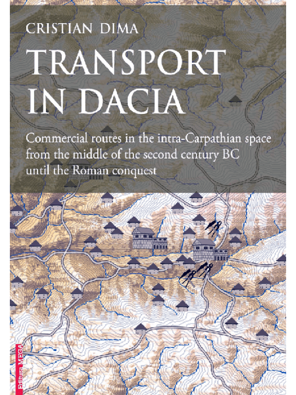
Transport in Dacia
Transport in Dacia: Commercial routes in the intra-Carpathian space from the middle of the second century BC until the Roman conquest
Category: archaeology
Language: English
Table of contents
Foreword
1. Introduction
Scope and aims of the research
Limits of the research
Methodology
2. Geographical limits
2.1.The intra-Carpathian area
2.2. The space geographically delimited by the Șureanu Mountains and the Middle Mureş river course
3. History of research
3.1. Dacian trading routes and communication roads in historiography
3.2. Dacian transport vehicles in historiography
4. Dacian conveyance vehicles in archaeological finds
4.1. Cart parts in the Dacian world
4.1.1. Terminology
4.1.2. Wheel parts
4.1.3. Cart components
4.1.4. Yoke fittings
4.2. Find contexts
4.2.1. Cart parts from fortresses and fortified settlements
4.2.2. Cart parts in civil contexts
4.2.3. “Chariot” burials from pre-Roman Dacia
4.2.4. Cart parts from unsecure find contexts
4.3. Miniature chariots
4.4. Catalog
5. Commercial routes and relation in the intra-Carpathian space
5.1. Features of the trading routes
5.2. Exploitation areas
5.2.1. Areas with ferrous and nonferrous ores’ exploitation
5.2.2. Exploitation areas of building materials. Stone
5.2.3. Salt exploitation areas
5.2.4. Exchange products resulted from farming, livestock husbandry, hunting and fishing
5.3. Local production centers
5.3.1. Metallurgy and precious metal working
5.3.2. Pottery workshops
5.3.3. Bone and horn/ antler objects manufacturing workshops
5.3.4. Glassware
5.4. Trading sites, outlets, customs
5.5. Trading routes in the intra-Carpathian area
5.5.1. Trading routes for the distribution of raw materials and local metallurgical products
5.5.2. Conveyance and trading routes for stone distribution
5.5.3. Salt distribution trading routes
6. Case study: Dacian trading routes in landscape archaeology
6.1. Introduction
6.2. Methodology of spatial research and the GIS database model
6.2.1. Development of the GIS database model
6.2.2. Identification of the archaeological sites
6.2.3. DEM maps, topographic maps
6.2.4. Cost Surface Analyses
6.2.5. Results and validation of results
7. Conclusions
Abbreviations
Bibliography
Archaeological sites repertory
Index
Plates
| Details | |
| Publisher | Editura Mega |
| Language | English |
| Pages | 336 |
| Illustrations | color figures |
| Binding | hardback |
| ISBN | 978-606–020-422–0 |
| Creation date | 2021 |
| Size | 21 х 28 cm |
Write a review
Your Name:Your Review: Note: HTML is not translated!
Rating: Bad Good
Enter the code in the box below:


